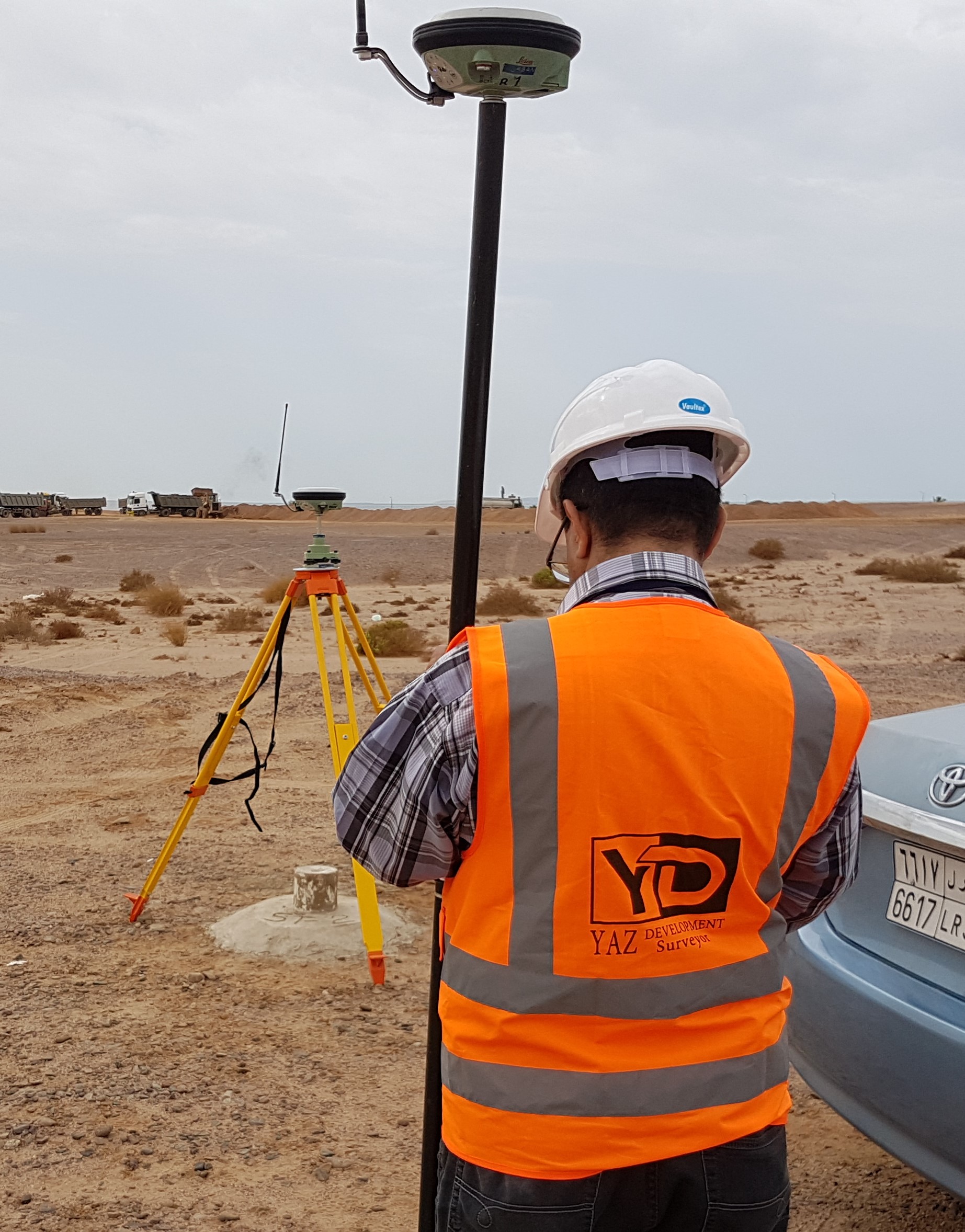
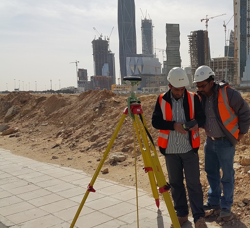
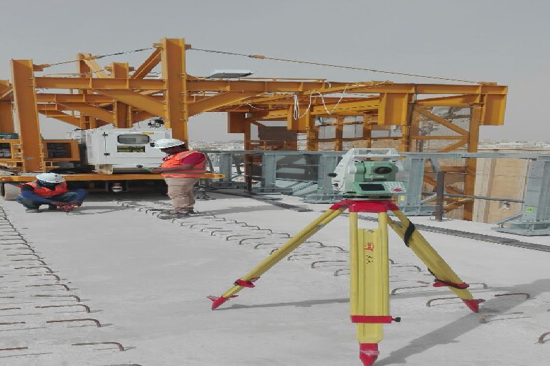
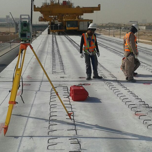
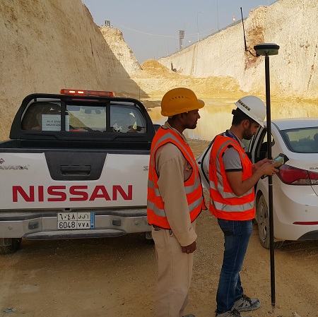
Construction Layout and Staking Survey are carried and flag the location (position) and elevation of construction elements on the ground based on approved IFC design plans and relative project coordinate system. Such elements include but not limited to foundation, axis lines concrete slabs, road horizontal and vertical alignments, manholes pipelines, culvert, street furniture, or any other design structure. Construction Layout and Staking Surveys can be carried out using conventional survey equipment (theodolites, total station, and levels) or Real Time Kinematic (RTK) GNSS system either combined or interchangeably. Various levels of accuracies can be specified and achieved depending on the type and significance of the construction feature. Based on the specified accuracy and site conditions, our specialist project team will select the type of field survey systems that will deliver the required accuracy.

.jpeg)